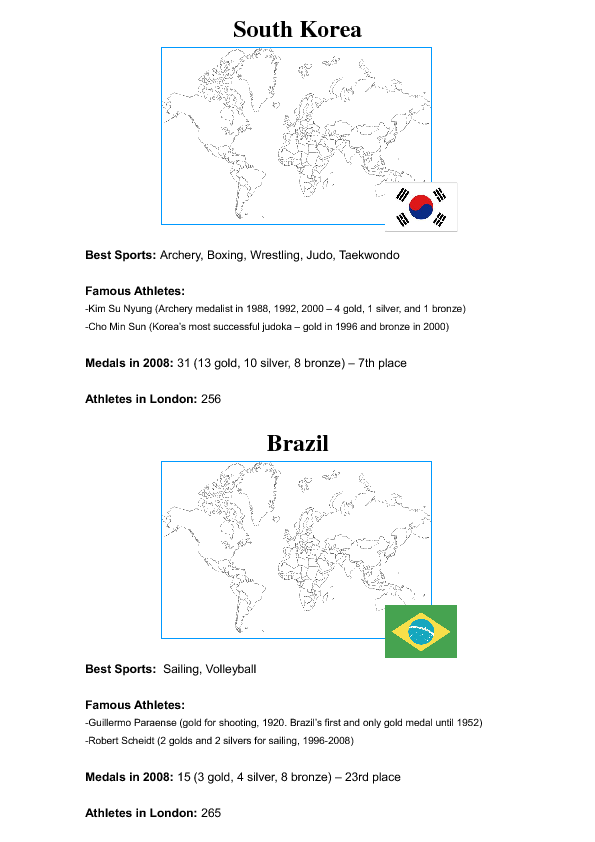
I am running two weeks of middle school summer classes with an Olympic theme (since the Games are currently happening in London!). These country profiles are for a lesson about different countries' Olympic experiences/profiles. (There is a matching worksheet that is uploaded separately as "Olympic Country Profiles Activity (Worksheet Version 1)".)
Before cutting the profiles apart and sticking them up on the wall, you should colour each country in on the blank map that is part of each profile. Again, you can change, add, or take away how much information is included in each profile.
1. I hung the 6 country profiles around the room (You can of course change, add, or take away countries as you see fit). Students had to read all the profiles, then choose 3 to record on the worksheet. They also had to label the flags and colour in and label the countries on the map.
2. I cut all the information (including the flags) into individual cards and distributed them amongst the students. Without looking at their worksheets, they had to stick their info cards under the correct country on the board. (After which we checked it all over for accuracy as a class.)
3. Trivia Game. I collected their worksheets and hid the board of country information so no cheating was possible, and then we played a trivia game with all the information (including showing pictures of the flags and locations of the countries on the map). This can be done with multi-player teams or individuals. In my class, the winner(s) got a prize, so they were extra-competitive!
